 vesseltracker.com
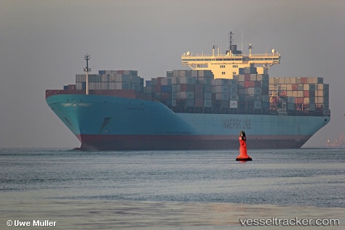
 MSC DENISSE X
Current Status
Where is the vessel?
MSC DENISSE X is currently in 29 nm SE of Amatikulu, based on AIS data received about 1h ago.
Latest AIS update:
Current position: 29.42563° S, 31.88447° E (29 nm SE of Amatikulu)
Average speed (last 7 days): Loading…
Average speed (last 30 days): Loading…
Vessel profile: MSC DENISSE X is a Container Ship with dimensions m x m.
This page combines live AIS, route history, probable destination signals, nearby traffic, and port activity for practical vessel monitoring.
The current position of vessel MSC DENISSE X is -29.42563 lat / 31.88447 lng. Updated: 2026-05-17 12:15:01 UTCNearest reference points:
- Near Umhlanga Rocks
- Near Durban
- Near Island View
Currently sailing under the flag of Liberia ![]()
Details:
Live Vessel MSC DENISSE X Analytics (details, animations, etc.)
Recent AIS points (UTC):
2026-05-17 07:43:52 UTC · -28.25833, 32.94037 · SOG 18.8 kn · COG 218°2026-05-17 09:26:45 UTC · -28.69558, 32.55020 · SOG 19.8 kn · COG 218°
2026-05-17 10:13:04 UTC · -28.90029, 32.36736 · SOG 19.8 kn · COG 216°
2026-05-17 12:15:01 UTC · -29.42563, 31.88447 · SOG 18.6 kn · COG 220°