 vesseltracker.com
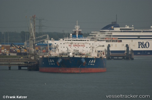
 YI TONG
Current Status
Where is the vessel?
YI TONG is currently in Near Mumbai, based on AIS data received less than 1h ago.
Latest AIS update:
Current position: 18.93737° N, 72.89390° E (Near Mumbai)
Average speed (last 7 days): Loading…
Average speed (last 30 days): Loading…
Vessel profile: YI TONG is a Crude Oil Tanker with dimensions m x m.
This page combines live AIS, route history, probable destination signals, nearby traffic, and port activity for practical vessel monitoring.
The current position of vessel YI TONG is 18.93737 lat / 72.89390 lng. Updated: 2026-05-18 01:55:04 UTCNearest reference points:
- Near Mumbai
- Near NHAVA SHEVA
- Near HNB SEZ/Mumbai
Currently sailing under the flag of Panama ![]()
Details:
Live Vessel YI TONG Analytics (details, animations, etc.)
Recent AIS points (UTC):
2026-05-17 22:17:00 UTC · 18.93667, 72.89333 · SOG 0 kn · COG -1°2026-05-18 00:10:02 UTC · 18.93739, 72.89391 · SOG 0 kn · COG 56°
2026-05-18 01:25:01 UTC · 18.93738, 72.89390 · SOG 0 kn · COG 56°
2026-05-18 01:55:04 UTC · 18.93737, 72.89390 · SOG 0 kn · COG 57°