 vesseltracker.com
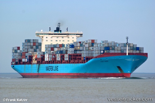
 KOSTAS K
Current Status
Where is the vessel?
KOSTAS K is currently in 32 nm S of Seogwipo, based on AIS data received about 1h ago.
Latest AIS update:
Current position: 32.70913° N, 126.49897° E (32 nm S of Seogwipo)
Average speed (last 7 days): Loading…
Average speed (last 30 days): Loading…
Vessel profile: KOSTAS K is a Container Ship with dimensions m x m.
This page combines live AIS, route history, probable destination signals, nearby traffic, and port activity for practical vessel monitoring.
The current position of vessel KOSTAS K is 32.70913 lat / 126.49897 lng. Updated: 2026-05-17 20:16:55 UTCNearest reference points:
- 22 nm S of Seogwipo
- Near Hwasun
- 66 nm S of Hwasun
Currently sailing under the flag of Liberia ![]()
Details:
Live Vessel KOSTAS K Analytics (details, animations, etc.)
Recent AIS points (UTC):
2026-05-17 16:30:06 UTC · 32.17440, 125.74435 · SOG 13.3 kn · COG 53°2026-05-17 18:01:57 UTC · 32.40323, 126.04530 · SOG 13.3 kn · COG 52°
2026-05-17 20:02:36 UTC · 32.67580, 126.45312 · SOG 12.8 kn · COG 48°
2026-05-17 20:16:55 UTC · 32.70913, 126.49897 · SOG 12.8 kn · COG 50°