 vesseltracker.com
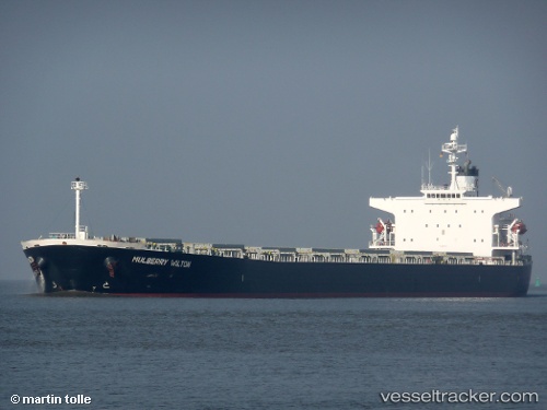
Magic P
Current StatusWhere is the vessel?
Magic P is currently in 199 nm E of Manakara, based on AIS data received less than 1h ago.
Latest AIS update:
Current position: 21.95667° S, 51.60167° E (199 nm E of Manakara)
Average speed (last 7 days): Loading…
Average speed (last 30 days): Loading…
Vessel profile: Magic P is a Bulk Carrier with dimensions 32m x 225m.
This page combines live AIS, route history, probable destination signals, nearby traffic, and port activity for practical vessel monitoring.
The current position of vessel Magic P is -21.95667 lat / 51.60167 lng. Updated: 2026-05-18 08:02:34 UTCNearest reference points:
- 194 nm E of Manakara
- 209 nm E of Manakara
Details:
Live Vessel Magic P Analytics (details, animations, etc.)
Recent AIS points (UTC):
2026-05-18 04:56:39 UTC · -22.33333, 51.16667 · SOG 10 kn · COG -1°2026-05-18 06:02:39 UTC · -22.20333, 51.32667 · SOG 10 kn · COG -1°
2026-05-18 07:05:37 UTC · -22.07333, 51.47167 · SOG 10 kn · COG -1°
2026-05-18 08:02:34 UTC · -21.95667, 51.60167 · SOG 10 kn · COG -1°