 vesseltracker.com
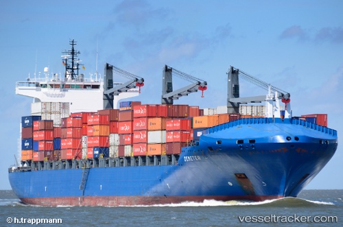
 INDEPENDENT PRIMERO
Current Status
Where is the vessel?
INDEPENDENT PRIMERO is currently in 242 nm SE of Offshore Ambrose, based on AIS data received less than 1h ago.
Latest AIS update:
Current position: 37.21428° N, 68.53993° W (242 nm SE of Offshore Ambrose)
Average speed (last 7 days): Loading…
Average speed (last 30 days): Loading…
Vessel profile: INDEPENDENT PRIMERO is a Container Ship with dimensions m x m.
This page combines live AIS, route history, probable destination signals, nearby traffic, and port activity for practical vessel monitoring.
The current position of vessel INDEPENDENT PRIMERO is 37.21428 lat / -68.53993 lng. Updated: 2026-05-18 03:59:30 UTCNearest reference points:
- 187 nm SE of Offshore Ambrose
- 169 nm NE of Ben Slimane
- 273 nm SE of NANTUCKET
Currently sailing under the flag of Portugal ![]()
Details:
Live Vessel INDEPENDENT PRIMERO Analytics (details, animations, etc.)
Recent AIS points (UTC):
2026-05-18 00:22:32 UTC · 36.91000, -69.72833 · SOG 17 kn · COG -1°2026-05-18 01:16:34 UTC · 36.98000, -69.41833 · SOG 16 kn · COG -1°
2026-05-18 02:01:30 UTC · 37.04372, -69.17845 · SOG 16.4 kn · COG 73°
2026-05-18 03:59:30 UTC · 37.21428, -68.53993 · SOG 16.1 kn · COG 72°