 vesseltracker.com
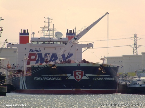
 FANTA
FANTA
Current Status
Where is the vessel?
FANTA is currently in 47 nm SW of Cayman Brac, based on AIS data received less than 1h ago.
Latest AIS update:
Current position: 19.08436° N, 80.40642° W (47 nm SW of Cayman Brac)
Average speed (last 7 days): Loading…
Average speed (last 30 days): Loading…
Vessel profile: FANTA is a Oil Products Tanker with dimensions 183m x 182m.
This page combines live AIS, route history, probable destination signals, nearby traffic, and port activity for practical vessel monitoring.
The current position of vessel FANTA is 19.08436 lat / -80.40642 lng. Updated: 2026-05-17 22:11:25 UTCNearest reference points:
- Near Georgetown, Grand Cayman
Currently sailing under the flag of Antigua Barbuda ![]()
FANTA built in 2006 year
Deadweight:
65125 tDetails:
Live Vessel FANTA Analytics (details, animations, etc.)
Recent AIS points (UTC):
2026-05-17 17:21:47 UTC · 19.08436, -80.19504 · SOG 2.5 kn · COG 270°2026-05-17 19:49:48 UTC · 19.08436, -80.30306 · SOG 2.5 kn · COG 270°
2026-05-17 20:11:47 UTC · 19.08436, -80.31910 · SOG 2.5 kn · COG 270°
2026-05-17 22:11:25 UTC · 19.08436, -80.40642 · SOG 2.5 kn · COG 270°