 vesseltracker.com
 VIET THUAN 56 02
Current Status
Where is the vessel?
VIET THUAN 56 02 is currently in 145 nm W of Ranong Apt, based on AIS data received about 8h ago.
Latest AIS update:
Current position: 10.44947° N, 96.22705° E (145 nm W of Ranong Apt)
Average speed (last 7 days): Loading…
Average speed (last 30 days): Loading…
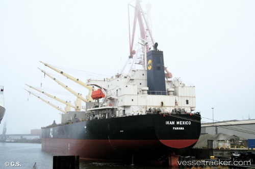
Vessel profile: VIET THUAN 56 02 is a Bulk Carrier with dimensions m x m.
This page combines live AIS, route history, probable destination signals, nearby traffic, and port activity for practical vessel monitoring.
The current position of vessel VIET THUAN 56 02 is 10.44947 lat / 96.22705 lng. Updated: 2026-05-17 13:20:58 UTCNearest reference points:
- 126 nm S of Yetagun Field
- 175 nm W of Ranong Apt
- Near Ranong
Currently sailing under the flag of Panama ![]()
Details:
Live Vessel VIET THUAN 56 02 Analytics (details, animations, etc.)
Recent AIS points (UTC):
2026-05-17 13:20:58 UTC · 10.44947, 96.22705 · SOG 10.3 kn · COG 333°2026-05-17 13:20:58 UTC · 10.44947, 96.22705 · SOG 10.3 kn · COG 333°
2026-05-17 13:20:58 UTC · 10.44947, 96.22705 · SOG 10.3 kn · COG 333°
2026-05-17 13:20:58 UTC · 10.44947, 96.22705 · SOG 10.3 kn · COG 333°