 vesseltracker.com
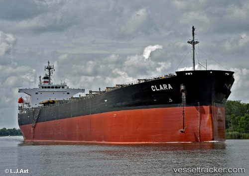
 CLARA B
Current Status
Where is the vessel?
CLARA B is currently in Near Poquoson, based on AIS data received about 1h ago.
Latest AIS update:
Current position: 37.16135° N, 76.16426° W (Near Poquoson)
Average speed (last 7 days): Loading…
Average speed (last 30 days): Loading…
Vessel profile: CLARA B is a Bulk Carrier with dimensions m x m.
This page combines live AIS, route history, probable destination signals, nearby traffic, and port activity for practical vessel monitoring.
The current position of vessel CLARA B is 37.16135 lat / -76.16426 lng. Updated: 2026-05-17 05:42:53 UTCNearest reference points:
- Near New Point
- Near Sewell's Point
- Near Hampton Roads Pt
Currently sailing under the flag of Liberia ![]()
Details:
Live Vessel CLARA B Analytics (details, animations, etc.)
Recent AIS points (UTC):
2026-05-17 02:21:54 UTC · 37.16249, -76.16655 · SOG 0.1 kn · COG 181°2026-05-17 04:06:55 UTC · 37.16227, -76.16552 · SOG 0.1 kn · COG 201°
2026-05-17 05:15:54 UTC · 37.16178, -76.16460 · SOG 0.1 kn · COG 222°
2026-05-17 05:42:53 UTC · 37.16135, -76.16426 · SOG 0.2 kn · COG 240°