 vesseltracker.com
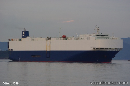
 POSITIVE STAR
Current Status
Where is the vessel?
POSITIVE STAR is currently in 77 nm NW of Cockatoo Island, based on AIS data received less than 1h ago.
Latest AIS update:
Current position: 15.43162° S, 122.47717° E (77 nm NW of Cockatoo Island)
Average speed (last 7 days): Loading…
Average speed (last 30 days): Loading…
Vessel profile: POSITIVE STAR is a Vehicles Carrier with dimensions 180m x 30m.
This page combines live AIS, route history, probable destination signals, nearby traffic, and port activity for practical vessel monitoring.
The current position of vessel POSITIVE STAR is -15.43162 lat / 122.47717 lng. Updated: 2026-05-17 07:22:24 UTCNearest reference points:
- 23 nm E of Yampi Sound
- Near Prelude
Currently sailing under the flag of Panama ![]()
POSITIVE STAR built in 2004 year
Deadweight:
15128 tDetails:
Live Vessel POSITIVE STAR Analytics (details, animations, etc.)
Recent AIS points (UTC):
2026-05-17 04:04:25 UTC · -16.03045, 121.65987 · SOG 18.5 kn · COG 55°2026-05-17 05:29:02 UTC · -15.77265, 122.01807 · SOG 18 kn · COG 59°
2026-05-17 07:20:54 UTC · -15.43590, 122.47110 · SOG 17.6 kn · COG 59°
2026-05-17 07:22:24 UTC · -15.43162, 122.47717 · SOG 17.5 kn · COG 60°