 vesseltracker.com
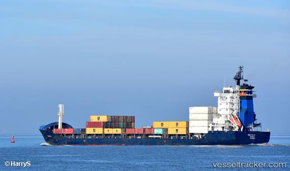
 KAMDHENU
Current Status
Where is the vessel?
KAMDHENU is currently in 41 nm NW of Grote Berg, based on AIS data received about 1h ago.
Latest AIS update:
Current position: 12.81123° N, 69.25541° W (41 nm NW of Grote Berg)
Average speed (last 7 days): Loading…
Average speed (last 30 days): Loading…
Vessel profile: KAMDHENU is a General Cargo with dimensions m x m.
This page combines live AIS, route history, probable destination signals, nearby traffic, and port activity for practical vessel monitoring.
The current position of vessel KAMDHENU is 12.81123 lat / -69.25541 lng. Updated: 2026-05-17 19:48:00 UTCNearest reference points:
- Near Bullenbaai
- 24 nm NW of Palm Beach
- Near Las Piedras
Currently sailing under the flag of Antigua and Barbuda ![]()
Details:
Live Vessel KAMDHENU Analytics (details, animations, etc.)
Recent AIS points (UTC):
2026-05-17 14:45:07 UTC · 12.94068, -68.32183 · SOG 10.6 kn · COG 263°2026-05-17 14:45:07 UTC · 12.94068, -68.32183 · SOG 10.6 kn · COG 263°
2026-05-17 14:45:07 UTC · 12.94068, -68.32183 · SOG 10.6 kn · COG 263°
2026-05-17 19:48:00 UTC · 12.81123, -69.25541 · SOG 11.2 kn · COG 268°