 vesseltracker.com
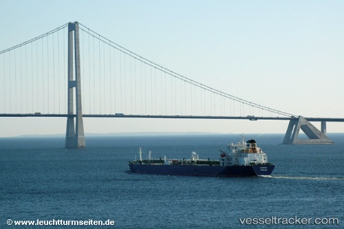
 NORDIC
Current Status
Where is the vessel?
NORDIC is currently in 108 nm N of Rashid, based on AIS data received about 1h ago.
Latest AIS update:
Current position: 33.17736° N, 30.06895° E (108 nm N of Rashid)
Average speed (last 7 days): Loading…
Average speed (last 30 days): Loading…
Vessel profile: NORDIC is a Oil Products Tanker with dimensions m x m.
This page combines live AIS, route history, probable destination signals, nearby traffic, and port activity for practical vessel monitoring.
The current position of vessel NORDIC is 33.17736 lat / 30.06895 lng. Updated: 2026-05-18 04:10:22 UTCNearest reference points:
- 129 nm NW of ABU QIR
- 108 nm S of Kastellorizou (ex Megísti)
- 68 nm SW of Paphos
Currently sailing under the flag of Liberia ![]()
Details:
Live Vessel NORDIC Analytics (details, animations, etc.)
Recent AIS points (UTC):
2026-05-18 02:17:32 UTC · 32.91315, 30.41904 · SOG 12.8 kn · COG 311°2026-05-18 02:19:01 UTC · 32.91671, 30.41419 · SOG 12.8 kn · COG 311°
2026-05-18 03:54:32 UTC · 33.14204, 30.11918 · SOG 12.5 kn · COG 311°
2026-05-18 04:10:22 UTC · 33.17736, 30.06895 · SOG 12.3 kn · COG 312°