 vesseltracker.com
 LINDOR
Current Status
Where is the vessel?
LINDOR is currently in 88 nm N of Ulleung-gun, based on AIS data received less than 1h ago.
Latest AIS update:
Current position: 38.94868° N, 131.08002° E (88 nm N of Ulleung-gun)
Average speed (last 7 days): Loading…
Average speed (last 30 days): Loading…
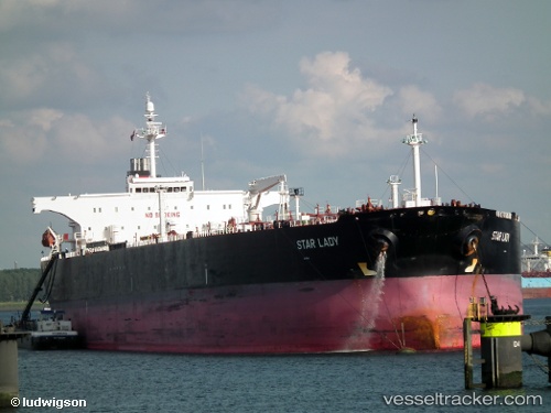
Vessel profile: LINDOR is a Crude Oil Tanker with dimensions m x m.
This page combines live AIS, route history, probable destination signals, nearby traffic, and port activity for practical vessel monitoring.
The current position of vessel LINDOR is 38.94868 lat / 131.08002 lng. Updated: 2026-05-17 23:43:25 UTCNearest reference points:
- 96 nm N of Ulleung-gun
- 33 nm NE of Ulleung-gun
- 94 nm N of Dokdo
Currently sailing under the flag of Cameroon ![]()
Details:
Live Vessel LINDOR Analytics (details, animations, etc.)
Recent AIS points (UTC):
2026-05-17 19:48:05 UTC · 39.38020, 131.30969 · SOG 6.3 kn · COG 203°2026-05-17 21:19:24 UTC · 39.23464, 131.23773 · SOG 5.9 kn · COG 209°
2026-05-17 23:01:26 UTC · 39.03898, 131.12962 · SOG 8.3 kn · COG 209°
2026-05-17 23:43:25 UTC · 38.94868, 131.08002 · SOG 8.5 kn · COG 204°