 vesseltracker.com
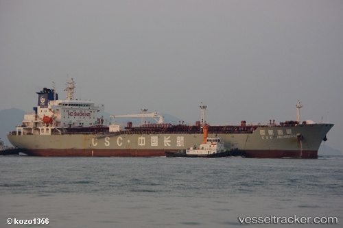
 LUCKY MAY
Current Status
Where is the vessel?
LUCKY MAY is currently in Near Rozi, based on AIS data received about 1h ago.
Latest AIS update:
Current position: 22.64068° N, 69.95182° E (Near Rozi)
Average speed (last 7 days): Loading…
Average speed (last 30 days): Loading…
Vessel profile: LUCKY MAY is a Oil Products Tanker with dimensions m x m.
This page combines live AIS, route history, probable destination signals, nearby traffic, and port activity for practical vessel monitoring.
The current position of vessel LUCKY MAY is 22.64068 lat / 69.95182 lng. Updated: 2026-05-17 10:55:58 UTCNearest reference points:
- Near Rozi
- Near SIKKA
- 12 nm N of Rozi
Currently sailing under the flag of Marshall Islands ![]()
Details:
Live Vessel LUCKY MAY Analytics (details, animations, etc.)
Recent AIS points (UTC):
2026-05-17 07:02:00 UTC · 22.64077, 69.95200 · SOG 0.1 kn · COG 248°2026-05-17 08:08:03 UTC · 22.64064, 69.95208 · SOG 0 kn · COG 256°
2026-05-17 10:25:58 UTC · 22.63999, 69.95221 · SOG 0.2 kn · COG 262°
2026-05-17 10:55:58 UTC · 22.64068, 69.95182 · SOG 0.1 kn · COG 221°