 vesseltracker.com
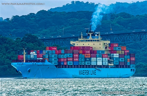
Maersk Innoshima
Current StatusWhere is the vessel?
Maersk Innoshima is currently in 35 nm NE of North Richmond, based on AIS data received about 1h ago.
Latest AIS update:
Current position: 22.25200° S, 151.21028° E (35 nm NE of North Richmond)
Average speed (last 7 days): Loading…
Average speed (last 30 days): Loading…
Vessel profile: Maersk Innoshima is a Container Ship with dimensions 32m x 233m.
This page combines live AIS, route history, probable destination signals, nearby traffic, and port activity for practical vessel monitoring.
The current position of vessel Maersk Innoshima is -22.25200 lat / 151.21028 lng. Updated: 2026-05-18 07:42:40 UTCNearest reference points:
- 26 nm SE of North Richmond
- Near ROSSLYN
- Near Boyne Island
Details:
Live Vessel Maersk Innoshima Analytics (details, animations, etc.)
Recent AIS points (UTC):
2026-05-18 04:23:04 UTC · -21.72833, 150.61166 · SOG 14 kn · COG -1°2026-05-18 05:41:07 UTC · -21.95667, 150.82666 · SOG 14 kn · COG -1°
2026-05-18 07:07:31 UTC · -22.16333, 151.10948 · SOG 13.3 kn · COG 132°
2026-05-18 07:42:40 UTC · -22.25200, 151.21028 · SOG 13.1 kn · COG 132°