 vesseltracker.com
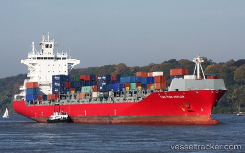
 MARINA ONE
Current Status
Where is the vessel?
MARINA ONE is currently in 18 nm SW of Kukdo, based on AIS data received about 1h ago.
Latest AIS update:
Current position: 34.29731° N, 128.22255° E (18 nm SW of Kukdo)
Average speed (last 7 days): Loading…
Average speed (last 30 days): Loading…
Vessel profile: MARINA ONE is a Container Ship with dimensions m x m.
This page combines live AIS, route history, probable destination signals, nearby traffic, and port activity for practical vessel monitoring.
The current position of vessel MARINA ONE is 34.29731 lat / 128.22255 lng. Updated: 2026-05-17 20:09:09 UTCNearest reference points:
- 25 nm S of Kukdo
- 15 nm S of Kukdo
- 10 nm SW of Junghwa
Currently sailing under the flag of Liberia ![]()
Details:
Live Vessel MARINA ONE Analytics (details, animations, etc.)
Recent AIS points (UTC):
2026-05-17 16:30:01 UTC · 34.69866, 128.80956 · SOG 10.1 kn · COG 192°2026-05-17 18:02:01 UTC · 34.53169, 128.57903 · SOG 10.6 kn · COG 240°
2026-05-17 19:54:58 UTC · 34.32167, 128.26334 · SOG 10 kn · COG -1°
2026-05-17 20:09:09 UTC · 34.29731, 128.22255 · SOG 10.6 kn · COG 238°