 vesseltracker.com
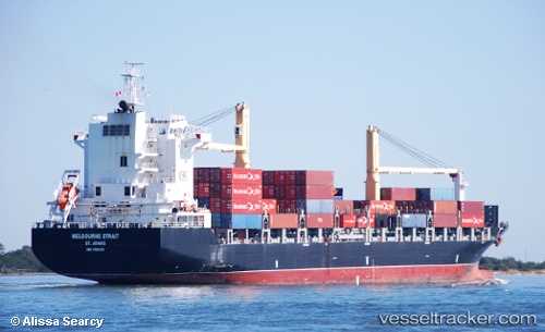
 CMA CGM CEBU
Current Status
Where is the vessel?
CMA CGM CEBU is currently in 135 nm E of Hulhulé Island, based on AIS data received less than 1h ago.
Latest AIS update:
Current position: 3.45018° N, 75.65577° E (135 nm E of Hulhulé Island)
Average speed (last 7 days): Loading…
Average speed (last 30 days): Loading…
Vessel profile: CMA CGM CEBU is a Container Ship with dimensions m x m.
This page combines live AIS, route history, probable destination signals, nearby traffic, and port activity for practical vessel monitoring.
The current position of vessel CMA CGM CEBU is 3.45018 lat / 75.65577 lng. Updated: 2026-05-17 19:31:11 UTCNearest reference points:
- 146 nm E of Koodoo Fisheries
Currently sailing under the flag of Malta ![]()
Details:
Live Vessel CMA CGM CEBU Analytics (details, animations, etc.)
Recent AIS points (UTC):
2026-05-17 16:49:46 UTC · 3.82230, 76.08325 · SOG 12.4 kn · COG 227°2026-05-17 18:08:41 UTC · 3.63928, 75.87177 · SOG 12.4 kn · COG 228°
2026-05-17 19:13:12 UTC · 3.49070, 75.70205 · SOG 12.2 kn · COG 230°
2026-05-17 19:31:11 UTC · 3.45018, 75.65577 · SOG 12.3 kn · COG 230°