 vesseltracker.com
 HAVEN
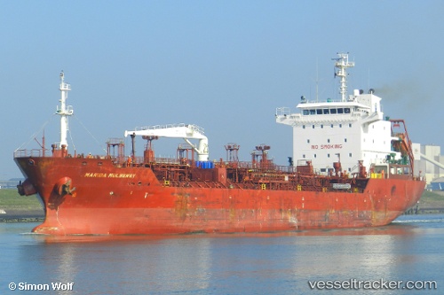
HAVEN
Current Status
Where is the vessel?
HAVEN is currently in 113 nm E of Abakaliki, based on AIS data received less than 1h ago.
Latest AIS update:
Current position: 5.82733° N, 87.81970° E (113 nm E of Abakaliki)
Average speed (last 7 days): Loading…
Average speed (last 30 days): Loading…
Vessel profile: HAVEN is a Oil/Chemical Tanker with dimensions m x m.
This page combines live AIS, route history, probable destination signals, nearby traffic, and port activity for practical vessel monitoring.
The current position of vessel HAVEN is 5.82733 lat / 87.81970 lng. Updated: 2026-05-17 14:12:22 UTCNearest reference points:
- 23 nm S of Abakaliki
- 243 nm E of Abakaliki
- 46 nm SW of Abakaliki
Currently sailing under the flag of Panama ![]()
Details:
Live Vessel HAVEN Analytics (details, animations, etc.)
Recent AIS points (UTC):
2026-05-17 10:37:02 UTC · 5.79518, 87.21813 · SOG 10.9 kn · COG 91°2026-05-17 12:23:42 UTC · 5.81918, 87.52715 · SOG 10 kn · COG 91°
2026-05-17 13:42:51 UTC · 5.82853, 87.73743 · SOG 9.5 kn · COG 95°
2026-05-17 14:12:22 UTC · 5.82733, 87.81970 · SOG 10.5 kn · COG 93°