 vesseltracker.com
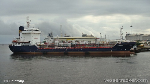
Kiluanje
Current StatusWhere is the vessel?
Kiluanje is currently in Near Port Said, based on AIS data received about 1h ago.
Latest AIS update:
Current position: 31.38580° N, 32.26493° E (Near Port Said)
Average speed (last 7 days): Loading…
Average speed (last 30 days): Loading…
Vessel profile: Kiluanje is a Oil Products Tanker with dimensions 18m x 103m.
This page combines live AIS, route history, probable destination signals, nearby traffic, and port activity for practical vessel monitoring.
The current position of vessel Kiluanje is 31.38580 lat / 32.26493 lng. Updated: 2026-05-16 23:14:30 UTCNearest reference points:
- Near Port Said
- 14 nm N of Port Said
- 15 nm N of Port Said
Details:
Live Vessel Kiluanje Analytics (details, animations, etc.)
Recent AIS points (UTC):
2026-05-16 19:35:08 UTC · 31.36437, 32.27258 · SOG 0 kn · COG 3°2026-05-16 21:44:27 UTC · 31.38587, 32.26513 · SOG 0 kn · COG 27°
2026-05-16 22:41:31 UTC · 31.38572, 32.26522 · SOG 0 kn · COG 20°
2026-05-16 23:14:30 UTC · 31.38580, 32.26493 · SOG 0 kn · COG 36°