 vesseltracker.com
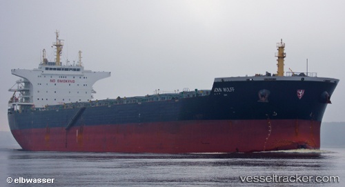
 THALIA
Current Status
Where is the vessel?
THALIA is currently in 110 nm SW of Cap Skiring, based on AIS data received about 1h ago.
Latest AIS update:
Current position: 11.15876° N, 18.13568° W (110 nm SW of Cap Skiring)
Average speed (last 7 days): Loading…
Average speed (last 30 days): Loading…
Vessel profile: THALIA is a Bulk Carrier with dimensions m x m.
This page combines live AIS, route history, probable destination signals, nearby traffic, and port activity for practical vessel monitoring.
The current position of vessel THALIA is 11.15876 lat / -18.13568 lng. Updated: 2026-05-17 17:41:07 UTCNearest reference points:
- 144 nm SW of Bubaque
- 48 nm W of Cap Skiring
- Near San Francisco Libre
Currently sailing under the flag of Cyprus ![]()
Details:
Live Vessel THALIA Analytics (details, animations, etc.)
Recent AIS points (UTC):
2026-05-17 14:04:55 UTC · 11.76767, -18.42637 · SOG 11.7 kn · COG 182°2026-05-17 16:08:05 UTC · 11.40613, -18.32035 · SOG 11.8 kn · COG 142°
2026-05-17 16:18:17 UTC · 11.37875, -18.29990 · SOG 11.7 kn · COG 142°
2026-05-17 17:41:07 UTC · 11.15876, -18.13568 · SOG 11.6 kn · COG 141°