 vesseltracker.com
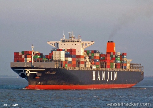
 MAERSK ENSENADA
Current Status
Where is the vessel?
MAERSK ENSENADA is currently in 50 nm SW of Gavdos Chanea, based on AIS data received less than 1h ago.
Latest AIS update:
Current position: 34.16647° N, 23.53640° E (50 nm SW of Gavdos Chanea)
Average speed (last 7 days): Loading…
Average speed (last 30 days): Loading…
Vessel profile: MAERSK ENSENADA is a Container Ship with dimensions m x m.
This page combines live AIS, route history, probable destination signals, nearby traffic, and port activity for practical vessel monitoring.
The current position of vessel MAERSK ENSENADA is 34.16647 lat / 23.53640 lng. Updated: 2026-05-18 07:52:09 UTCNearest reference points:
- 67 nm S of Kali Limenes
- 59 nm W of Paleochora
- Near Kali Limenes
Currently sailing under the flag of Singapore ![]()
Details:
Live Vessel MAERSK ENSENADA Analytics (details, animations, etc.)
Recent AIS points (UTC):
2026-05-18 04:11:52 UTC · 34.45958, 22.37824 · SOG 16.7 kn · COG 107°2026-05-18 05:54:04 UTC · 34.31945, 22.91928 · SOG 16.2 kn · COG 104°
2026-05-18 07:16:39 UTC · 34.21349, 23.35074 · SOG 16.2 kn · COG 105°
2026-05-18 07:52:09 UTC · 34.16647, 23.53640 · SOG 16.4 kn · COG 108°