 vesseltracker.com
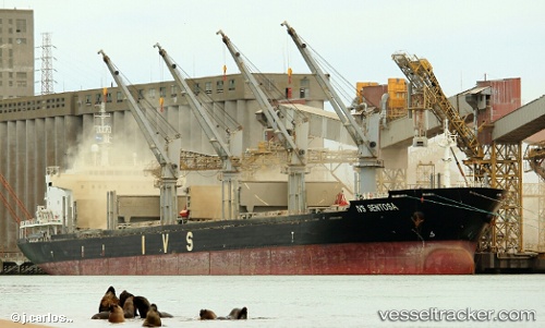
 ATHANASIA
Current Status
Where is the vessel?
ATHANASIA is currently in 25 nm E of Natal, based on AIS data received about 1h ago.
Latest AIS update:
Current position: 5.82667° S, 34.77500° W (25 nm E of Natal)
Average speed (last 7 days): Loading…
Average speed (last 30 days): Loading…
Vessel profile: ATHANASIA is a Bulk Carrier with dimensions m x m.
This page combines live AIS, route history, probable destination signals, nearby traffic, and port activity for practical vessel monitoring.
The current position of vessel ATHANASIA is -5.82667 lat / -34.77500 lng. Updated: 2026-05-17 01:37:04 UTCNearest reference points:
- 20 nm E of Natal
- Near Boa Viagem
Currently sailing under the flag of Marshall Islands ![]()
Details:
Live Vessel ATHANASIA Analytics (details, animations, etc.)
Recent AIS points (UTC):
2026-05-16 23:04:46 UTC · -5.46098, -34.91341 · SOG 8.3 kn · COG 155°2026-05-16 23:52:07 UTC · -5.56667, -34.87167 · SOG 8 kn · COG -1°
2026-05-17 01:37:04 UTC · -5.82667, -34.77500 · SOG 9 kn · COG -1°
2026-05-17 01:37:04 UTC · -5.82667, -34.77500 · SOG 9 kn · COG -1°