 vesseltracker.com
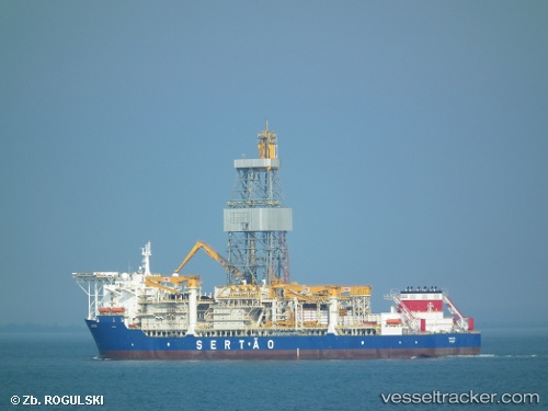
 Kanuni
Current Status
Where is the vessel?
Kanuni is currently in 84 nm NW of Bartin, based on AIS data received about 1h ago.
Latest AIS update:
Current position: 42.85520° N, 31.18214° E (84 nm NW of Bartin)
Average speed (last 7 days): Loading…
Average speed (last 30 days): Loading…
Vessel profile: Kanuni is a Drilling Ship with dimensions 228m x 42m.
This page combines live AIS, route history, probable destination signals, nearby traffic, and port activity for practical vessel monitoring.
The current position of vessel Kanuni is 42.85520 lat / 31.18214 lng. Updated: 2026-05-17 19:32:57 UTCNearest reference points:
- Near Erdemir
- 54 nm SE of Sveti Nikola
- 45 nm N of RUMELI FENERI
Currently sailing under the flag of Turkey ![]()
Kanuni built in 2012 year
Deadweight:
61537 tDetails:
Live Vessel Kanuni Analytics (details, animations, etc.)
Recent AIS points (UTC):
2026-05-17 16:54:39 UTC · 42.85521, 31.18213 · SOG 0.1 kn · COG 20°2026-05-17 17:56:29 UTC · 42.85521, 31.18214 · SOG 0 kn · COG 20°
2026-05-17 19:09:07 UTC · 42.85520, 31.18214 · SOG 0 kn · COG 20°
2026-05-17 19:32:57 UTC · 42.85520, 31.18214 · SOG 0 kn · COG 20°