 vesseltracker.com
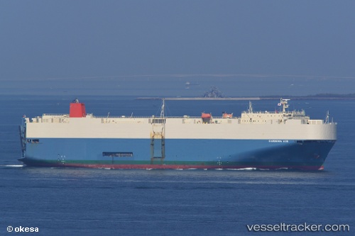
Gardenia Ace
Current StatusWhere is the vessel?
Gardenia Ace is currently in 65 nm E of Tami Island, based on AIS data received less than 1h ago.
Latest AIS update:
Current position: 6.83154° S, 148.99570° E (65 nm E of Tami Island)
Average speed (last 7 days): Loading…
Average speed (last 30 days): Loading…
Vessel profile: Gardenia Ace is a Vehicles Carrier with dimensions 30m x 180m.
This page combines live AIS, route history, probable destination signals, nearby traffic, and port activity for practical vessel monitoring.
The current position of vessel Gardenia Ace is -6.83154 lat / 148.99570 lng. Updated: 2026-05-17 23:59:43 UTCNearest reference points:
- 42 nm E of Tami Island
- Near Lae
Details:
Live Vessel Gardenia Ace Analytics (details, animations, etc.)
Recent AIS points (UTC):
2026-05-17 20:20:39 UTC · -6.31114, 148.28488 · SOG 14.4 kn · COG 131°2026-05-17 21:47:51 UTC · -6.52413, 148.57080 · SOG 14.6 kn · COG 122°
2026-05-17 22:07:56 UTC · -6.57116, 148.63658 · SOG 14.3 kn · COG 123°
2026-05-17 23:59:43 UTC · -6.83154, 148.99570 · SOG 14.3 kn · COG 122°