 vesseltracker.com
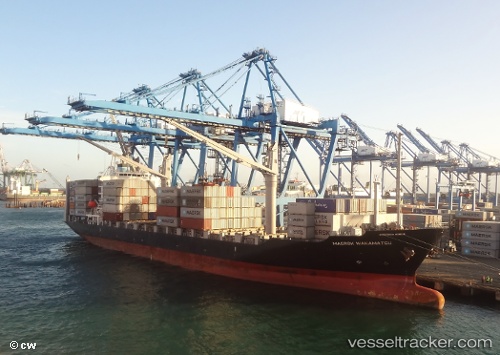
 MARINA SAPPHIRE
Current Status
Where is the vessel?
MARINA SAPPHIRE is currently in 16 nm NW of NISHINOOMOTE, based on AIS data received about 15h ago.
Latest AIS update:
Current position: 30.92379° N, 130.77466° E (16 nm NW of NISHINOOMOTE)
Average speed (last 7 days): Loading…
Average speed (last 30 days): Loading…
Vessel profile: MARINA SAPPHIRE is a Container Ship with dimensions m x m.
This page combines live AIS, route history, probable destination signals, nearby traffic, and port activity for practical vessel monitoring.
The current position of vessel MARINA SAPPHIRE is 30.92379 lat / 130.77466 lng. Updated: 2026-05-17 18:01:07 UTCNearest reference points:
- Near YAMAGAWA
- Near Kiire
- Near Kagoshima
Currently sailing under the flag of Liberia ![]()
Details:
Live Vessel MARINA SAPPHIRE Analytics (details, animations, etc.)
Recent AIS points (UTC):
2026-05-17 13:45:28 UTC · 31.35224, 131.52760 · SOG 12 kn · COG 235°2026-05-17 15:50:06 UTC · 31.14021, 131.14742 · SOG 11.3 kn · COG 238°
2026-05-17 16:22:29 UTC · 31.08557, 131.04591 · SOG 11.4 kn · COG 238°
2026-05-17 18:01:07 UTC · 30.92379, 130.77466 · SOG 10.3 kn · COG 248°