 vesseltracker.com
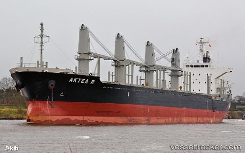
 LUCKY HOPE
Current Status
Where is the vessel?
LUCKY HOPE is currently in Near KAKOGAWA, based on AIS data received less than 1h ago.
Latest AIS update:
Current position: 34.68155° N, 134.76773° E (Near KAKOGAWA)
Average speed (last 7 days): Loading…
Average speed (last 30 days): Loading…
Vessel profile: LUCKY HOPE is a Bulk Carrier with dimensions m x m.
This page combines live AIS, route history, probable destination signals, nearby traffic, and port activity for practical vessel monitoring.
The current position of vessel LUCKY HOPE is 34.68155 lat / 134.76773 lng. Updated: 2026-05-18 07:47:39 UTCNearest reference points:
- Near KAKOGAWA
- Near HIGASHIHARIMA
- Near Awaji
Currently sailing under the flag of Panama ![]()
Details:
Live Vessel LUCKY HOPE Analytics (details, animations, etc.)
Recent AIS points (UTC):
2026-05-18 04:25:32 UTC · 34.62361, 134.95801 · SOG 9.6 kn · COG 254°2026-05-18 05:50:36 UTC · 34.68102, 134.76726 · SOG 0.1 kn · COG 288°
2026-05-18 07:26:37 UTC · 34.68178, 134.76775 · SOG 0 kn · COG 267°
2026-05-18 07:47:39 UTC · 34.68155, 134.76773 · SOG 0 kn · COG 275°