 vesseltracker.com
 FORTUNE ISLAND
Current Status
Where is the vessel?
FORTUNE ISLAND is currently in 112 nm W of Talara, based on AIS data received less than 1h ago.
Latest AIS update:
Current position: 4.28588° S, 83.13726° W (112 nm W of Talara)
Average speed (last 7 days): Loading…
Average speed (last 30 days): Loading…
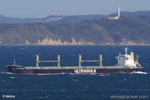
Vessel profile: FORTUNE ISLAND is a Bulk Carrier with dimensions 199m x 32m.
This page combines live AIS, route history, probable destination signals, nearby traffic, and port activity for practical vessel monitoring.
The current position of vessel FORTUNE ISLAND is -4.28588 lat / -83.13726 lng. Updated: 2026-05-18 06:04:51 UTCNearest reference points:
- 75 nm SW of Talara
- Near PAITA
- Near La Libertad
Currently sailing under the flag of Hong Kong, China ![]()
FORTUNE ISLAND built in 2010 year
Deadweight:
61484 tDetails:
Live Vessel FORTUNE ISLAND Analytics (details, animations, etc.)
Recent AIS points (UTC):
2026-05-18 01:20:00 UTC · -4.99833, -82.67167 · SOG 10 kn · COG -1°2026-05-18 04:22:57 UTC · -4.53667, -82.97333 · SOG 10 kn · COG -1°
2026-05-18 04:34:58 UTC · -4.50667, -82.99333 · SOG 10 kn · COG -1°
2026-05-18 06:04:51 UTC · -4.28588, -83.13726 · SOG 10.4 kn · COG 331°