 vesseltracker.com
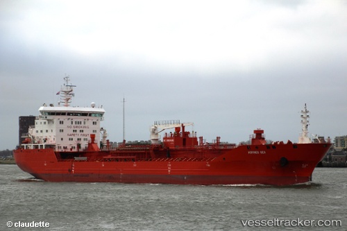
 SONGA TRITON
Current Status
Where is the vessel?
SONGA TRITON is currently in 33 nm W of Neringa, based on AIS data received less than 1h ago.
Latest AIS update:
Current position: 55.52404° N, 20.12612° E (33 nm W of Neringa)
Average speed (last 7 days): Loading…
Average speed (last 30 days): Loading…
Vessel profile: SONGA TRITON is a Oil/Chemical Tanker with dimensions m x m.
This page combines live AIS, route history, probable destination signals, nearby traffic, and port activity for practical vessel monitoring.
The current position of vessel SONGA TRITON is 55.52404 lat / 20.12612 lng. Updated: 2026-05-17 23:28:35 UTCNearest reference points:
- 39 nm W of Pilies juru uosto PVP/Klaipeda
- 10 nm NW of Svetlogorsk
- 17 nm W of Gusevka
Currently sailing under the flag of Portugal ![]()
Details:
Live Vessel SONGA TRITON Analytics (details, animations, etc.)
Recent AIS points (UTC):
2026-05-17 18:44:58 UTC · 54.51885, 18.68738 · SOG 0 kn · COG 57°2026-05-17 21:40:06 UTC · 55.52420, 20.12634 · SOG 6 kn · COG 29°
2026-05-17 22:52:37 UTC · 55.52077, 20.12883 · SOG 4.5 kn · COG 338°
2026-05-17 23:28:35 UTC · 55.52404, 20.12612 · SOG 4.8 kn · COG 321°