 vesseltracker.com
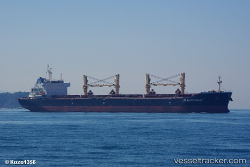
 AGERI
AGERI
Current Status
Where is the vessel?
AGERI is currently in 87 nm NW of PARE PARE, based on AIS data received about 1h ago.
Latest AIS update:
Current position: 3.03500° S, 118.53167° E (87 nm NW of PARE PARE)
Average speed (last 7 days): Loading…
Average speed (last 30 days): Loading…
Vessel profile: AGERI is a Bulk Carrier with dimensions m x m.
This page combines live AIS, route history, probable destination signals, nearby traffic, and port activity for practical vessel monitoring.
The current position of vessel AGERI is -3.03500 lat / 118.53167 lng. Updated: 2026-05-18 01:42:56 UTCNearest reference points:
- 57 nm NE of TANJUNG PEMANCINGAN
- Near TANJUNG PEMANCINGAN
- 12 nm W of Panakukang
Currently sailing under the flag of Portugal ![]()
Details:
Live Vessel AGERI Analytics (details, animations, etc.)
Recent AIS points (UTC):
2026-05-17 22:09:51 UTC · -3.60500, 118.40333 · SOG 11 kn · COG -1°2026-05-17 23:57:51 UTC · -3.31333, 118.52500 · SOG 9 kn · COG -1°
2026-05-18 01:12:55 UTC · -3.11500, 118.52833 · SOG 9 kn · COG -1°
2026-05-18 01:42:56 UTC · -3.03500, 118.53167 · SOG 9 kn · COG -1°