 vesseltracker.com
 LADY MARY
Current Status
Where is the vessel?
LADY MARY is currently in 122 nm E of Porto Inglez, based on AIS data received less than 1h ago.
Latest AIS update:
Current position: 14.74797° N, 21.14593° W (122 nm E of Porto Inglez)
Average speed (last 7 days): Loading…
Average speed (last 30 days): Loading…
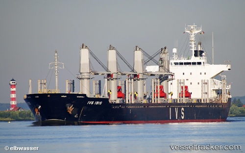
Vessel profile: LADY MARY is a Bulk Carrier with dimensions m x m.
This page combines live AIS, route history, probable destination signals, nearby traffic, and port activity for practical vessel monitoring.
The current position of vessel LADY MARY is 14.74797 lat / -21.14593 lng. Updated: 2026-05-17 21:28:55 UTCNearest reference points:
- Near Ilha do Sal
- 39 nm W of Ilha do Sal
Currently sailing under the flag of Barbados ![]()
Details:
Live Vessel LADY MARY Analytics (details, animations, etc.)
Recent AIS points (UTC):
2026-05-17 18:08:00 UTC · 15.38849, -20.86439 · SOG 12.7 kn · COG 203°2026-05-17 19:23:06 UTC · 15.14980, -20.97395 · SOG 12.5 kn · COG 202°
2026-05-17 19:28:47 UTC · 15.13173, -20.98204 · SOG 12.6 kn · COG 202°
2026-05-17 21:28:55 UTC · 14.74797, -21.14593 · SOG 12.3 kn · COG 199°