 vesseltracker.com
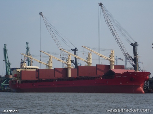
 FEDERAL KIBUNE
Current Status
Where is the vessel?
FEDERAL KIBUNE is currently in 69 nm NW of Tortella, based on AIS data received less than 1h ago.
Latest AIS update:
Current position: 43.35715° N, 27.31148° W (69 nm NW of Tortella)
Average speed (last 7 days): Loading…
Average speed (last 30 days): Loading…
Vessel profile: FEDERAL KIBUNE is a Bulk Carrier with dimensions m x m.
This page combines live AIS, route history, probable destination signals, nearby traffic, and port activity for practical vessel monitoring.
The current position of vessel FEDERAL KIBUNE is 43.35715 lat / -27.31148 lng. Updated: 2026-05-16 22:15:28 UTCCurrently sailing under the flag of Marshall Islands ![]()
Details:
Live Vessel FEDERAL KIBUNE Analytics (details, animations, etc.)
Recent AIS points (UTC):
2026-05-16 17:25:05 UTC · 43.48299, -28.33451 · SOG 9.3 kn · COG 98°2026-05-16 19:21:27 UTC · 43.43633, -27.92775 · SOG 9 kn · COG 102°
2026-05-16 21:40:17 UTC · 43.37553, -27.43790 · SOG 9.6 kn · COG 103°
2026-05-16 22:15:28 UTC · 43.35715, -27.31148 · SOG 9.6 kn · COG 103°