 vesseltracker.com
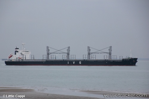
 NORD PHINDA
Current Status
Where is the vessel?
NORD PHINDA is currently in 22 nm SE of Bungwahl, based on AIS data received less than 1h ago.
Latest AIS update:
Current position: 32.64820° S, 152.72591° E (22 nm SE of Bungwahl)
Average speed (last 7 days): Loading…
Average speed (last 30 days): Loading…
Vessel profile: NORD PHINDA is a Cargo with dimensions m x m.
This page combines live AIS, route history, probable destination signals, nearby traffic, and port activity for practical vessel monitoring.
The current position of vessel NORD PHINDA is -32.64820 lat / 152.72591 lng. Updated: 2026-05-17 13:30:41 UTCNearest reference points:
- Near Warners Bay
- Near Caves Beach
- Near BILGOLA PLATEAU
Currently sailing under the flag of Marshall Islands ![]()
Details:
Live Vessel NORD PHINDA Analytics (details, animations, etc.)
Recent AIS points (UTC):
2026-05-17 10:45:13 UTC · -32.95268, 152.57898 · SOG 7 kn · COG 21°2026-05-17 12:12:23 UTC · -32.79352, 152.65189 · SOG 7.3 kn · COG 26°
2026-05-17 13:07:22 UTC · -32.69311, 152.70410 · SOG 7.3 kn · COG 21°
2026-05-17 13:30:41 UTC · -32.64820, 152.72591 · SOG 7 kn · COG 21°