 vesseltracker.com
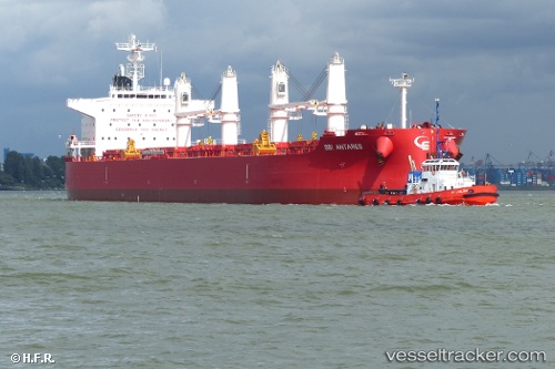
 NOOTKA ISLAND
Current Status
Where is the vessel?
NOOTKA ISLAND is currently in Near Ama, based on AIS data received about 1h ago.
Latest AIS update:
Current position: 29.96842° N, 90.25867° W (Near Ama)
Average speed (last 7 days): Loading…
Average speed (last 30 days): Loading…
Vessel profile: NOOTKA ISLAND is a Cargo with dimensions m x m.
This page combines live AIS, route history, probable destination signals, nearby traffic, and port activity for practical vessel monitoring.
The current position of vessel NOOTKA ISLAND is 29.96842 lat / -90.25867 lng. Updated: 2026-05-17 14:01:27 UTCNearest reference points:
- Near Boutte
- Near Good Hope
- Near Marrero
Currently sailing under the flag of Singapore ![]()
Details:
Live Vessel NOOTKA ISLAND Analytics (details, animations, etc.)
Recent AIS points (UTC):
2026-05-17 10:16:33 UTC · 29.96667, -90.25833 · SOG 0 kn · COG -1°2026-05-17 11:45:56 UTC · 29.96825, -90.25864 · SOG 0.1 kn · COG 272°
2026-05-17 13:37:00 UTC · 29.96832, -90.25862 · SOG 0 kn · COG 268°
2026-05-17 14:01:27 UTC · 29.96842, -90.25867 · SOG 0 kn · COG 264°