 vesseltracker.com
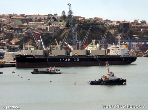
 SILVERFJORD
Current Status
Where is the vessel?
SILVERFJORD is currently in 76 nm S of Gulfmex Lightering Area, based on AIS data received about 14h ago.
Latest AIS update:
Current position: 26.49510° N, 90.68017° W (76 nm S of Gulfmex Lightering Area)
Average speed (last 7 days): Loading…
Average speed (last 30 days): Loading…
Vessel profile: SILVERFJORD is a Cargo with dimensions m x m.
This page combines live AIS, route history, probable destination signals, nearby traffic, and port activity for practical vessel monitoring.
The current position of vessel SILVERFJORD is 26.49510 lat / -90.68017 lng. Updated: 2026-05-17 08:07:23 UTCNearest reference points:
- 94 nm S of Gulfmex Lightering Area
- 124 nm SW of Gulfmex Lightering Area
- 83 nm W of Gulfmex Lightering Area
Currently sailing under the flag of Marshall Islands ![]()
Details:
Live Vessel SILVERFJORD Analytics (details, animations, etc.)
Recent AIS points (UTC):
2026-05-17 08:07:23 UTC · 26.49510, -90.68017 · SOG 9.8 kn · COG 126°2026-05-17 08:07:23 UTC · 26.49510, -90.68017 · SOG 9.8 kn · COG 126°
2026-05-17 08:07:23 UTC · 26.49510, -90.68017 · SOG 9.8 kn · COG 126°
2026-05-17 08:07:23 UTC · 26.49510, -90.68017 · SOG 9.8 kn · COG 126°