 vesseltracker.com
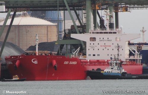
 S SAMBA
Current Status
Where is the vessel?
S SAMBA is currently in 39 nm NW of BIZERTE, based on AIS data received about 1h ago.
Latest AIS update:
Current position: 37.61026° N, 9.17545° E (39 nm NW of BIZERTE)
Average speed (last 7 days): Loading…
Average speed (last 30 days): Loading…
Vessel profile: S SAMBA is a Cargo with dimensions m x m.
This page combines live AIS, route history, probable destination signals, nearby traffic, and port activity for practical vessel monitoring.
The current position of vessel S SAMBA is 37.61026 lat / 9.17545 lng. Updated: 2026-05-17 13:35:22 UTCNearest reference points:
- 35 nm S of Setubal
- 33 nm SE of Setubal
- Near Le Kram
Currently sailing under the flag of Portugal ![]()
Details:
Live Vessel S SAMBA Analytics (details, animations, etc.)
Recent AIS points (UTC):
2026-05-17 10:46:22 UTC · 37.58632, 8.55580 · SOG 10.1 kn · COG 83°2026-05-17 11:39:12 UTC · 37.60322, 8.74419 · SOG 10.3 kn · COG 75°
2026-05-17 13:16:51 UTC · 37.61505, 9.10628 · SOG 10.7 kn · COG 94°
2026-05-17 13:35:22 UTC · 37.61026, 9.17545 · SOG 10.8 kn · COG 94°