 vesseltracker.com
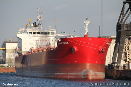
 SUNDA
SUNDA
Current Status
Where is the vessel?
SUNDA is currently in 20 nm NE of Il-Kappara, based on AIS data received less than 1h ago.
Latest AIS update:
Current position: 36.03173° N, 14.91039° E (20 nm NE of Il-Kappara)
Average speed (last 7 days): Loading…
Average speed (last 30 days): Loading…
Vessel profile: SUNDA is a Tanker with dimensions m x m.
This page combines live AIS, route history, probable destination signals, nearby traffic, and port activity for practical vessel monitoring.
The current position of vessel SUNDA is 36.03173 lat / 14.91039 lng. Updated: 2026-05-17 21:42:23 UTCNearest reference points:
- 13 nm E of Il-Kappara
- 18 nm E of Il-Kappara
- Near Xghajra
Currently sailing under the flag of Marshall Islands ![]()
Details:
Live Vessel SUNDA Analytics (details, animations, etc.)
Recent AIS points (UTC):
2026-05-17 18:05:45 UTC · 36.03159, 14.91147 · SOG 0.1 kn · COG 2°2026-05-17 19:34:07 UTC · 36.03154, 14.91085 · SOG 0 kn · COG 16°
2026-05-17 20:10:05 UTC · 36.03166, 14.91084 · SOG 0.1 kn · COG 16°
2026-05-17 21:42:23 UTC · 36.03173, 14.91039 · SOG 0.1 kn · COG 27°