 vesseltracker.com
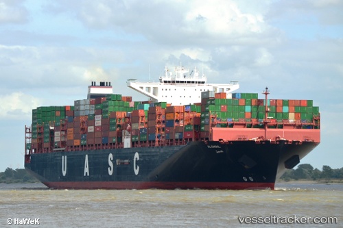
 AL DHAIL
Current Status
Where is the vessel?
AL DHAIL is currently in 320 nm S of Abakaliki, based on AIS data received about 2h ago.
Latest AIS update:
Current position: 1.28418° N, 87.69425° E (320 nm S of Abakaliki)
Average speed (last 7 days): Loading…
Average speed (last 30 days): Loading…
Vessel profile: AL DHAIL is a Cargo A with dimensions m x m.
This page combines live AIS, route history, probable destination signals, nearby traffic, and port activity for practical vessel monitoring.
The current position of vessel AL DHAIL is 1.28418 lat / 87.69425 lng. Updated: 2026-05-17 19:13:58 UTCNearest reference points:
- 331 nm S of Abakaliki
- Open sea, approx. 401 nm off the nearest listed port
- Open sea, approx. 402 nm off the nearest listed port
Currently sailing under the flag of Liberia ![]()
Details:
Live Vessel AL DHAIL Analytics (details, animations, etc.)
Recent AIS points (UTC):
2026-05-17 15:41:47 UTC · 1.83250, 88.50161 · SOG 16.9 kn · COG 235°2026-05-17 17:34:29 UTC · 1.53652, 88.06613 · SOG 16.3 kn · COG 238°
2026-05-17 19:13:58 UTC · 1.28418, 87.69425 · SOG 16.4 kn · COG 238°
2026-05-17 19:13:58 UTC · 1.28418, 87.69425 · SOG 16.4 kn · COG 238°