 vesseltracker.com
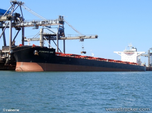
 AKADIMOS
Current Status
Where is the vessel?
AKADIMOS is currently in 68 nm E of Gonubie, based on AIS data received about 1h ago.
Latest AIS update:
Current position: 33.00592° S, 29.36506° E (68 nm E of Gonubie)
Average speed (last 7 days): Loading…
Average speed (last 30 days): Loading…
Vessel profile: AKADIMOS is a Cargo with dimensions m x m.
This page combines live AIS, route history, probable destination signals, nearby traffic, and port activity for practical vessel monitoring.
The current position of vessel AKADIMOS is -33.00592 lat / 29.36506 lng. Updated: 2026-05-17 15:45:23 UTCNearest reference points:
- 23 nm E of Port Saint John's
Currently sailing under the flag of Liberia ![]()
Details:
Live Vessel AKADIMOS Analytics (details, animations, etc.)
Recent AIS points (UTC):
2026-05-17 12:15:36 UTC · -33.19669, 28.87437 · SOG 7.5 kn · COG 60°2026-05-17 13:45:57 UTC · -33.11463, 29.08128 · SOG 7.7 kn · COG 63°
2026-05-17 14:05:37 UTC · -33.09705, 29.12805 · SOG 8 kn · COG 63°
2026-05-17 15:45:23 UTC · -33.00592, 29.36506 · SOG 8 kn · COG 66°