 vesseltracker.com
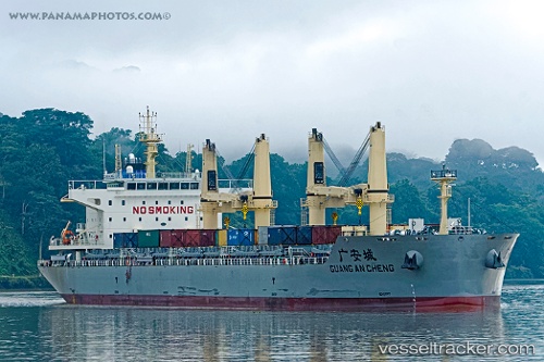
 GUANG AN CHENG
Current Status
Where is the vessel?
GUANG AN CHENG is currently in 128 nm SW of Floreana Island, based on AIS data received less than 1h ago.
Latest AIS update:
Current position: 3.22559° S, 91.35678° W (128 nm SW of Floreana Island)
Average speed (last 7 days): Loading…
Average speed (last 30 days): Loading…
Vessel profile: GUANG AN CHENG is a Cargo D with dimensions m x m.
This page combines live AIS, route history, probable destination signals, nearby traffic, and port activity for practical vessel monitoring.
The current position of vessel GUANG AN CHENG is -3.22559 lat / -91.35678 lng. Updated: 2026-05-17 22:38:29 UTCNearest reference points:
- 12 nm SW of Puerto Villamil, Isla Isabela
- Near Puerto Ayora, Isla Santa Cruz
- Near San Cristóbal
Currently sailing under the flag of China ![]()
Details:
Live Vessel GUANG AN CHENG Analytics (details, animations, etc.)
Recent AIS points (UTC):
2026-05-17 19:12:30 UTC · -3.52876, -90.77823 · SOG 11.5 kn · COG 294°2026-05-17 19:38:21 UTC · -3.49210, -90.85186 · SOG 11.5 kn · COG 294°
2026-05-17 21:59:04 UTC · -3.28364, -91.24660 · SOG 11.5 kn · COG 297°
2026-05-17 22:38:29 UTC · -3.22559, -91.35678 · SOG 11.4 kn · COG 297°