 vesseltracker.com
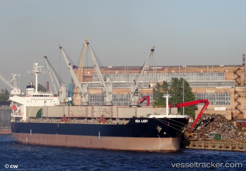
 Sealady
Current Status
Where is the vessel?
Sealady is currently in 48 nm NE of Alozaina, based on AIS data received about 1h ago.
Latest AIS update:
Current position: 37.41989° N, 14.37939° W (48 nm NE of Alozaina)
Average speed (last 7 days): Loading…
Average speed (last 30 days): Loading…
Vessel profile: Sealady is a Bulk Carrier with dimensions 200m x 32m.
This page combines live AIS, route history, probable destination signals, nearby traffic, and port activity for practical vessel monitoring.
The current position of vessel Sealady is 37.41989 lat / -14.37939 lng. Updated: 2026-05-18 01:33:00 UTCNearest reference points:
- 74 nm E of Alozaina
- 75 nm NE of Nedroma
- 97 nm W of Los Ramos
Currently sailing under the flag of Malta ![]()
Details:
Live Vessel Sealady Analytics (details, animations, etc.)
Recent AIS points (UTC):
2026-05-17 22:11:39 UTC · 37.51920, -15.28384 · SOG 12.6 kn · COG 95°2026-05-17 23:22:01 UTC · 37.48941, -14.97389 · SOG 12.9 kn · COG 98°
2026-05-18 00:14:23 UTC · 37.46408, -14.73618 · SOG 13.2 kn · COG 100°
2026-05-18 01:33:00 UTC · 37.41989, -14.37939 · SOG 13 kn · COG 99°