 vesseltracker.com
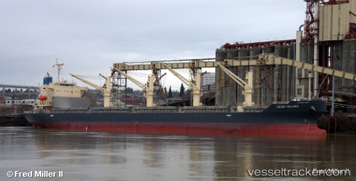
 Cebu Island
Current Status
Where is the vessel?
Cebu Island is currently in Open sea (no nearby ports in database), based on AIS data received about 1h ago.
Latest AIS update:
Current position: 39.20274° N, 156.45837° W (Open sea (no nearby ports in database))
Average speed (last 7 days): Loading…
Average speed (last 30 days): Loading…
Vessel profile: Cebu Island is a General Cargo Ship with dimensions 180m x 180m.
This page combines live AIS, route history, probable destination signals, nearby traffic, and port activity for practical vessel monitoring.
The current position of vessel Cebu Island is 39.20274 lat / -156.45837 lng. Updated: 2026-05-18 05:22:21 UTCNearest reference points:
- Open sea (no nearby ports in database)
Currently sailing under the flag of Panama ![]()
Details:
Live Vessel Cebu Island Analytics (details, animations, etc.)
Recent AIS points (UTC):
2026-05-18 02:13:39 UTC · 39.20348, -157.16052 · SOG 12.6 kn · COG 93°2026-05-18 04:17:14 UTC · 39.20273, -156.66667 · SOG 9 kn · COG 96°
2026-05-18 04:31:53 UTC · 39.20042, -156.61920 · SOG 9 kn · COG 86°
2026-05-18 05:22:21 UTC · 39.20274, -156.45837 · SOG 9.1 kn · COG 89°