 vesseltracker.com
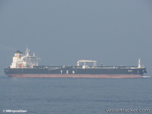
 Sunray
Current Status
Where is the vessel?
Sunray is currently in 38 nm W of Cedros Island, based on AIS data received about 1h ago.
Latest AIS update:
Current position: 28.06708° N, 115.91979° W (38 nm W of Cedros Island)
Average speed (last 7 days): Loading…
Average speed (last 30 days): Loading…
Vessel profile: Sunray is a Crude Oil Tanker with dimensions 228m x 32m.
This page combines live AIS, route history, probable destination signals, nearby traffic, and port activity for practical vessel monitoring.
The current position of vessel Sunray is 28.06708 lat / -115.91979 lng. Updated: 2026-05-18 06:21:52 UTCNearest reference points:
- 32 nm NW of Punta Baja
Currently sailing under the flag of Liberia ![]()
Details:
Live Vessel Sunray Analytics (details, animations, etc.)
Recent AIS points (UTC):
2026-05-18 01:55:08 UTC · 27.56212, -115.51053 · SOG 8.7 kn · COG 328°2026-05-18 03:35:57 UTC · 27.74974, -115.67142 · SOG 8.3 kn · COG 329°
2026-05-18 04:21:06 UTC · 27.83844, -115.73654 · SOG 8.3 kn · COG 327°
2026-05-18 06:21:52 UTC · 28.06708, -115.91979 · SOG 8.2 kn · COG 321°