 vesseltracker.com
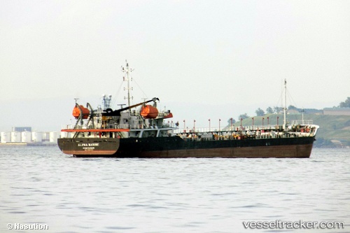
 ALPHA MARINE
Current Status
Where is the vessel?
ALPHA MARINE is currently in 18 nm W of PONTIANAK, based on AIS data received less than 1h ago.
Latest AIS update:
Current position: 0.04458° N, 109.05457° E (18 nm W of PONTIANAK)
Average speed (last 7 days): Loading…
Average speed (last 30 days): Loading…
Vessel profile: ALPHA MARINE is a Tanker with dimensions m x m.
This page combines live AIS, route history, probable destination signals, nearby traffic, and port activity for practical vessel monitoring.
The current position of vessel ALPHA MARINE is 0.04458 lat / 109.05457 lng. Updated: 2026-05-17 08:18:39 UTCNearest reference points:
- 12 nm SE of PONTIANAK
- 17 nm SW of Sanggau
- 81 nm N of Belitung
Currently sailing under the flag of Indonesia ![]()
Details:
Live Vessel ALPHA MARINE Analytics (details, animations, etc.)
Recent AIS points (UTC):
2026-05-17 04:42:23 UTC · 0.07333, 109.05667 · SOG 0 kn · COG -1°2026-05-17 05:36:26 UTC · 0.07333, 109.05667 · SOG 0 kn · COG -1°
2026-05-17 07:51:25 UTC · 0.07333, 109.05667 · SOG 0 kn · COG -1°
2026-05-17 08:18:39 UTC · 0.04458, 109.05457 · SOG 7.5 kn · COG 281°