 vesseltracker.com
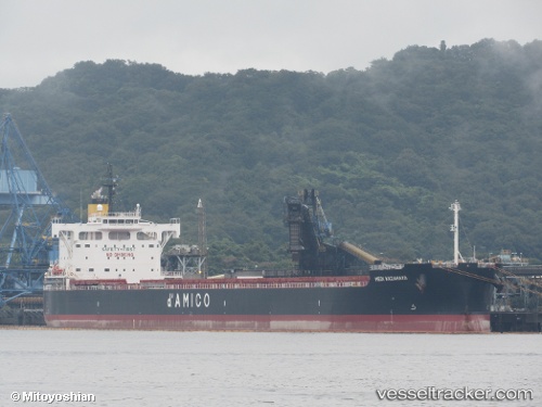
 BELUGA
Current Status
Where is the vessel?
BELUGA is currently in 20 nm SE of Port Edward, based on AIS data received less than 1h ago.
Latest AIS update:
Current position: 31.27575° S, 30.49738° E (20 nm SE of Port Edward)
Average speed (last 7 days): Loading…
Average speed (last 30 days): Loading…
Vessel profile: BELUGA is a Cargo with dimensions m x m.
This page combines live AIS, route history, probable destination signals, nearby traffic, and port activity for practical vessel monitoring.
The current position of vessel BELUGA is -31.27575 lat / 30.49738 lng. Updated: 2026-05-17 16:57:39 UTCNearest reference points:
- 23 nm E of Port Saint John's
- Near Island View
- Near Durban
Currently sailing under the flag of Liberia ![]()
Details:
Live Vessel BELUGA Analytics (details, animations, etc.)
Recent AIS points (UTC):
2026-05-17 13:46:01 UTC · -30.75834, 31.00952 · SOG 12.5 kn · COG 220°2026-05-17 14:05:40 UTC · -30.81022, 30.96023 · SOG 11.9 kn · COG 220°
2026-05-17 15:45:30 UTC · -31.05912, 30.68600 · SOG 13.2 kn · COG 218°
2026-05-17 16:57:39 UTC · -31.27575, 30.49738 · SOG 13.4 kn · COG 215°