 vesseltracker.com
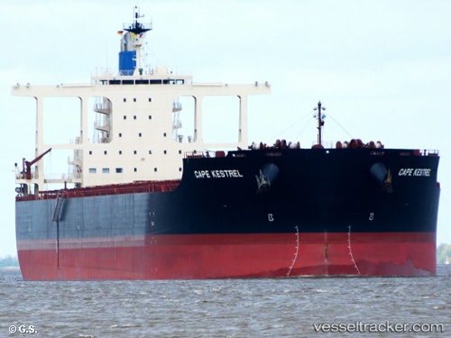
 CAPE KESTREL
Current Status
Where is the vessel?
CAPE KESTREL is currently in Near Pointe Noire, based on AIS data received about 1h ago.
Latest AIS update:
Current position: 50.19170° N, 66.48431° W (Near Pointe Noire)
Average speed (last 7 days): Loading…
Average speed (last 30 days): Loading…
Vessel profile: CAPE KESTREL is a Bulk Carrier with dimensions 292m x 291m.
This page combines live AIS, route history, probable destination signals, nearby traffic, and port activity for practical vessel monitoring.
The current position of vessel CAPE KESTREL is 50.19170 lat / -66.48431 lng. Updated: 2026-05-18 05:43:51 UTCNearest reference points:
- 22 nm N of Sainte-Anne-des-Monts
- 15 nm NW of Saint-Anaclet
Currently sailing under the flag of Liberia ![]()
CAPE KESTREL built in 2016 year
Deadweight:
181267 tDetails:
Live Vessel CAPE KESTREL Analytics (details, animations, etc.)
Recent AIS points (UTC):
2026-05-18 02:01:45 UTC · 50.19132, -66.48474 · SOG 0 kn · COG 315°2026-05-18 04:01:51 UTC · 50.19188, -66.48415 · SOG 0 kn · COG 295°
2026-05-18 04:43:47 UTC · 50.19187, -66.48424 · SOG 0 kn · COG 293°
2026-05-18 05:43:51 UTC · 50.19170, -66.48431 · SOG 0 kn · COG 296°