 vesseltracker.com
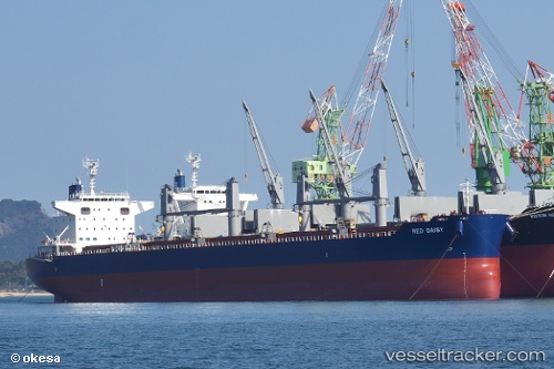
 NORD UTOPIA
Current Status
Where is the vessel?
NORD UTOPIA is currently in 329 nm E of Richards Bay, based on AIS data received less than 1h ago.
Latest AIS update:
Current position: 30.61130° S, 38.10584° E (329 nm E of Richards Bay)
Average speed (last 7 days): Loading…
Average speed (last 30 days): Loading…
Vessel profile: NORD UTOPIA is a Cargo with dimensions m x m.
This page combines live AIS, route history, probable destination signals, nearby traffic, and port activity for practical vessel monitoring.
The current position of vessel NORD UTOPIA is -30.61130 lat / 38.10584 lng. Updated: 2026-05-17 21:48:36 UTCNearest reference points:
- Open sea, approx. 400 nm off the nearest listed port
- Open sea, approx. 401 nm off the nearest listed port
- Open sea, approx. 402 nm off the nearest listed port
Currently sailing under the flag of Marshall Islands ![]()
Details:
Live Vessel NORD UTOPIA Analytics (details, animations, etc.)
Recent AIS points (UTC):
2026-05-17 17:57:08 UTC · -30.95914, 37.20576 · SOG 12.8 kn · COG 60°2026-05-17 19:05:17 UTC · -30.85408, 37.46105 · SOG 13 kn · COG 61°
2026-05-17 19:30:49 UTC · -30.81624, 37.55875 · SOG 13.3 kn · COG 61°
2026-05-17 21:48:36 UTC · -30.61130, 38.10584 · SOG 13.3 kn · COG 67°