 vesseltracker.com
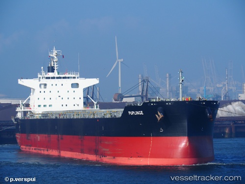
 PUPLINGE
Current Status
Where is the vessel?
PUPLINGE is currently in 10 nm S of Gibraltar, based on AIS data received less than 1h ago.
Latest AIS update:
Current position: 35.96601° N, 6.35052° W (10 nm S of Gibraltar)
Average speed (last 7 days): Loading…
Average speed (last 30 days): Loading…
Vessel profile: PUPLINGE is a Cargo with dimensions m x m.
This page combines live AIS, route history, probable destination signals, nearby traffic, and port activity for practical vessel monitoring.
The current position of vessel PUPLINGE is 35.96601 lat / -6.35052 lng. Updated: 2026-05-18 07:22:48 UTCNearest reference points:
- Near Gibraltar
- Near Conil de la Frontera
- Near Cadiz
Currently sailing under the flag of Marshall Islands ![]()
Details:
Live Vessel PUPLINGE Analytics (details, animations, etc.)
Recent AIS points (UTC):
2026-05-18 04:10:46 UTC · 35.95930, -5.74355 · SOG 9.7 kn · COG 270°2026-05-18 04:53:57 UTC · 35.95588, -5.88302 · SOG 8.9 kn · COG 272°
2026-05-18 05:48:47 UTC · 35.95915, -6.04794 · SOG 7.4 kn · COG 272°
2026-05-18 07:22:48 UTC · 35.96601, -6.35052 · SOG 10.4 kn · COG 278°