 vesseltracker.com
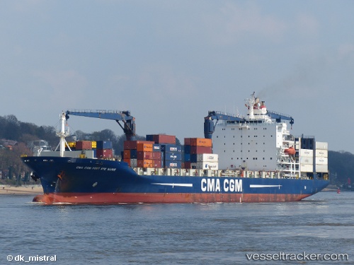
Find the position of the vessel Cmacgm Fort St Marie on the map. The latter are known coordinates and path.
marine traffic ship tracker show on live map
The current position of vessel Cmacgm Fort St Marie is 45.6299 lat / 13.7647 lng. Updated: 2025-11-18 16:21:10 UTCCurrently sailing under the flag of Malta
Cmacgm Fort St Marie built in 2003 year
Deadweight:
30804 tDetails:
Last coordinates of the vessel:
UTC, 45.6298, 13.7647, course: 248, speed: 0UTC, 45.6298, 13.7647, course: 248, speed: 0
UTC, 45.6298, 13.7647, course: 248, speed: 0
2025-11-18 16:21:10 UTC, 45.6299, 13.7647, course: 248, speed: 0