 vesseltracker.com
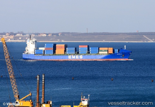
Find the position of the vessel Yigitcan A on the map. The latter are known coordinates and path.
marine traffic ship tracker show on live map
The current position of vessel Yigitcan A is 40.7478 lat / 29.8407 lng. Updated: 2025-11-16 01:21:35 UTCCurrently sailing under the flag of Malta
Yigitcan A built in 2001 year
Deadweight:
17264 tDetails:
Last coordinates of the vessel:
UTC, 40.738, 29.8848, course: 135, speed: 0.1UTC, 40.7377, 29.8841, course: 116, speed: 0.1
UTC, 40.7478, 29.8407, course: 264, speed: 0
2025-11-16 01:21:35 UTC, 40.7478, 29.8407, course: 263, speed: 0