 vesseltracker.com
Find the position of the vessel Libertas h on the map. The latter are known coordinates and path.
marine traffic ship tracker show on live map
The current position of vessel Libertas h is 40.7194 lat / 13.2953 lng. Updated: 2025-08-20 00:23:00 UTCCurrently sailing under the flag of Portugal
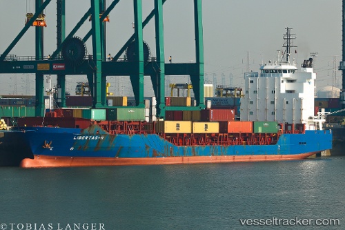
Libertas h built in 2007 year
Deadweight:
8716 tDetails:
Last coordinates of the vessel:
UTC, 40.9061, 12.7459, course: 135, speed: 10.3UTC, 40.7807, 13.0589, course: 144, speed: 10.2
UTC, 40.7194, 13.2953, course: 108, speed: 10.3
2025-08-20 00:23:00 UTC, 40.7194, 13.2953, course: 108, speed: 10.3