 vesseltracker.com
Live AIS position:
36.76478° N, 3.06709° E UTC. Near ALGER),
updated 2025-11-20 23:55:39 UTC.
Find the position of the vessel Msc Amanda F on the map. The latter are known coordinates and path.
marine traffic ship tracker show on live map
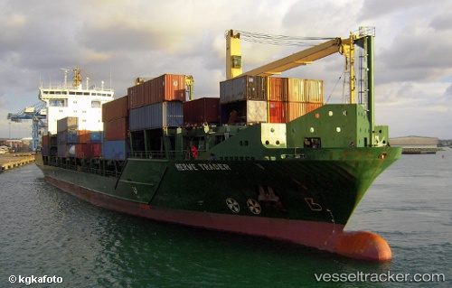
The current position of vessel Msc Amanda F is 36.76478 lat / 3.06709 lng. Updated: 2025-11-20 23:55:39 UTCCurrently sailing under the flag of Portugal
Msc Amanda F built in 2006 year
Deadweight:
11842 tDetails:
Last coordinates of the vessel:
UTC, 36.76478, 3.06712, course: 322, speed: 0UTC, 36.76479, 3.06711, course: 318, speed: 0
UTC, 36.76480, 3.06711, course: 322, speed: 0
2025-11-20 23:55:39 UTC, 36.76478, 3.06709, course: 323, speed: 0